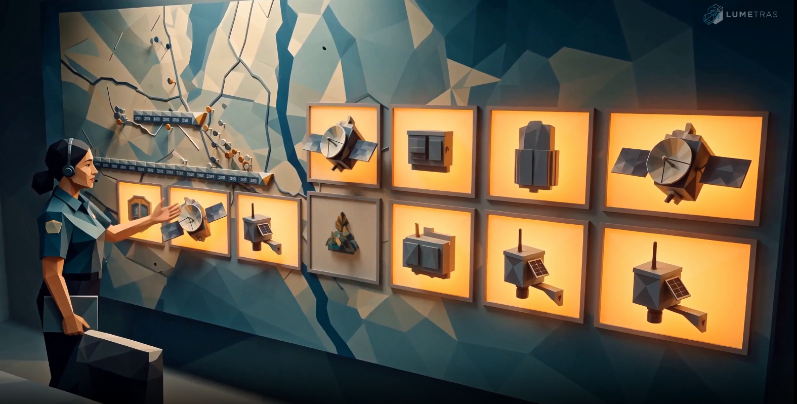




Government / public sector

    Data That Helps Governments Act Before the Crisis

    Lumetras builds early warning systems, AI command centers, and drone programs for disaster management, agriculture, and environmental protection. Our systems turn sensor, satellite, and field data into alerts and decisions that public agencies can act on.

    Partnering with organizations worldwide

    • British Columbia
    • Canada
    • Emblem of Angola
    • int@j, Information and Communications Technology Association, Jordan

    01 / Approach

    Introduction

    We design, install, and operate the full system: sensors, drones, communication networks, software, and staff training. Agencies keep ownership of their data.

    02 / Disaster risk reduction

    Disaster Preparedness and Recovery

    Multi-hazard early warning supports emergency management. Shared field and operational data help teams coordinate response and plan recovery. Local teams remain responsible for response actions.

    01

    River Level and Flood Early Warning System

    River water level monitoring supports flood forecasting. Flood monitoring combines these readings with upstream rainfall.

    • Ultrasonic water level sensors mount under bridges for real-time monitoring.
    • Upstream rainfall gauges help estimate rising water before it arrives.
    • Rate of rise alerts and flood threshold warnings go to emergency managers and communities.
    • Historical data supports hazard mapping, flood risk assessment, and evacuation planning.
    02

    Landslide Monitoring and Slope Early Warning

    This landslide early warning system uses slope monitoring to help assess risk.

    • Soil moisture, ground tilt, and rainfall sensors are installed on selected high risk slopes.
    • Models combine rainfall intensity and soil saturation to estimate landslide risk. Estimates depend on site data and require review.
    • Automatic alerts go to local responders when measured or estimated risk crosses set thresholds.
    • The system supports road closure decisions and protection of communities near unstable slopes.
    03

    Community Disaster Preparedness and Communication App

    The public alert system supports multilingual emergency alerts and two-way reporting. These reports help agencies plan community resilience measures.

    • The mobile app provides emergency notification with alerts, evacuation routes, and shelter locations.
    • Alerts can use local and indigenous languages. An AI assistant can answer questions in the user's language.
    • Residents can report flooding, damage, or people needing help, with photos and location.
    • SMS fallback supports areas with weak data coverage where text service is available.
    04

    AI Command Center for Natural Disaster Management

    An emergency operations center combines field reports for situational awareness and incident management. Staff review the disaster management system to coordinate response.

    • A single map can bring together river sensors, landslide sensors, weather data, satellite imagery, drone video, and community reports.
    • AI flood prediction and impact forecasts estimate which communities may be at risk and when. Staff review estimates before action.
    • Drone surveys support rapid damage assessment after an event.
    • Heavy payload cargo drones support humanitarian drone delivery. They can carry food, water, and medical supplies to areas cut off by floods or landslides.
    • Relief logistics track supplies for relief distribution. Resource allocation and incident reporting support coordinated response.

    03 / Field operations

    Agricultural Automation

    Smart farming programs use drone application and crop monitoring. They help farmers and agriculture departments improve yields, reduce input costs, and detect crop threats early. Model output depends on field conditions and validation.

    05

    Precision Agricultural Drones

    Precision agriculture uses field maps to plan agricultural drone spraying.

    • Automated drone fertilizer application and crop treatments use variable rates based on field maps.
    • Targeted application can reduce chemical use and labor while covering large areas quickly.
    • Flight paths are planned from field boundaries and crop condition data.
    06

    Crop Condition Monitoring and Disease Detection

    Crop disease detection uses images to flag signs for field checks. Crop monitoring reports help agriculture teams prepare food security plans.

    • Multispectral drone and satellite imagery track crop health across farming areas.
    • Computer vision can flag crop disease, pest damage, and nutrient stress. Detection timing depends on imagery, model fit, and field validation.
    • Crop yield forecasting and crop damage reports support food security planning and post-disaster agricultural assessments.

    04 / Climate resilience

    Environmental Monitoring and Prediction

    Continuous measurement helps teams see environmental changes early and plan with evidence. Predictive models provide estimates for review, not certainty about future events.

    • 01An IoT sensor network supports weather monitoring and water quality monitoring. Sensors measure rainfall, water levels, and local weather conditions.
    • 02Satellite and drone remote sensing tracks land use change, flood extent, and vegetation health.
    • 03Predictive models estimate flood, drought, and climate risk from available data.
    • 04Geospatial analytics feed dashboards and reports for climate adaptation and resilience planning.

    05 / Delivery

    How We Work With Government

    A staged pilot program makes scope, operations, and handover clear before wider deployment.

    1. 01

      Assessment

      We review hazards, existing systems, and priorities with your team.

    2. 02

      Pilot

      A limited deployment in the highest risk area helps assess the system against agreed criteria.

    3. 03

      Scale

      Expand the deployment across the program when the review supports that decision.

    4. 04

      Training and handover

      Your staff learn to run the system. Ongoing support is available.

    Systems support on-premise deployment on government servers or hosting in a secure cloud. Data stays under agency control. Hosting and access are agreed against the agency's data sovereignty requirements. GIS integration connects existing mapping, weather, and emergency alert systems using open standards.

    06 / In the field

    Case Studies

    01

    Early Potato Blight Detection in New Brunswick

    in partnership with Department of Agriculture, Aquaculture and Fisheries

    Late blight can destroy a potato crop within days of the first visible signs. Lumetras deployed computer vision enabled drones that scan fields and detect infection before it is visible from the ground. Spray drones then treat only the affected areas. The result was earlier containment and 65% less pesticide than whole field spraying, protecting both yield and the surrounding environment.

    02

    Wildfire Spread Intelligence in British Columbia

    in partnership with Government of BC

    When smoke hides fire edges and conditions change by the hour, crews need to know exactly where a fire is moving. Lumetras machine learning models combine satellite imagery with field camera detection to map active fire fronts and predict spread. Incident teams used this live picture to send crews and aircraft where they mattered most, stopping the spread 47% faster.

    03

    AI Assisted Public Services in Jordan

    in partnership with Information and Communication Technology Association Jordan

    Lumetras is working with local governments in Jordan to launch a public service portal powered by language models trained on local Arabic. Residents can ask questions in the way they naturally speak and get guided through services step by step. The goal is to bridge the gap between new technology and the communities it serves, so every resident can access public services with confidence.

    07 / Procurement questions

    Frequently Asked Questions

    Review coverage, data control, integration, and support before scoping a pilot.

    Can the system work in areas with poor mobile coverage?

    We assess coverage before choosing the communication network. SMS provides a fallback where text service is available. Sites without mobile coverage need another approved communication link.

    Who owns the data collected by the sensors and drones?

    Your agency owns the data collected by the sensors and drones. Access permissions, retention, and hosting arrangements are agreed before deployment.

    Can it connect to our existing emergency alert or GIS systems?

    The platform connects with GIS and emergency alert systems using open standards. We review the required interfaces and test data exchange during the pilot program.

    How long does a pilot deployment take?

    The schedule depends on site access, equipment availability, and required approvals. We agree the scope and deployment schedule with your team after the assessment.

    Do you provide training for government staff?

    Yes. Training covers system operation, alert review, and routine checks. Staff practice these tasks before handover.

    How is the system maintained after installation?

    We agree a maintenance plan before handover. It covers sensor checks, equipment servicing, and software updates. Ongoing support is available under the agreed support terms.

    Discuss a public program

    Talk to Our Public Sector Team

    Tell us the hazard or program you are working on. We will show you how a pilot could work in your area.

    Request a Briefing